How it works
Accessing reliable and actionable insights, at pace and cost
6 simple steps to unlock bespoke geospatial insights
Follow the guidelines below to get started
If you have any questions contact us.
Project area set-up
Upload project file / geospatial boundary (shapefile, GeoJSON, kml, etc.)
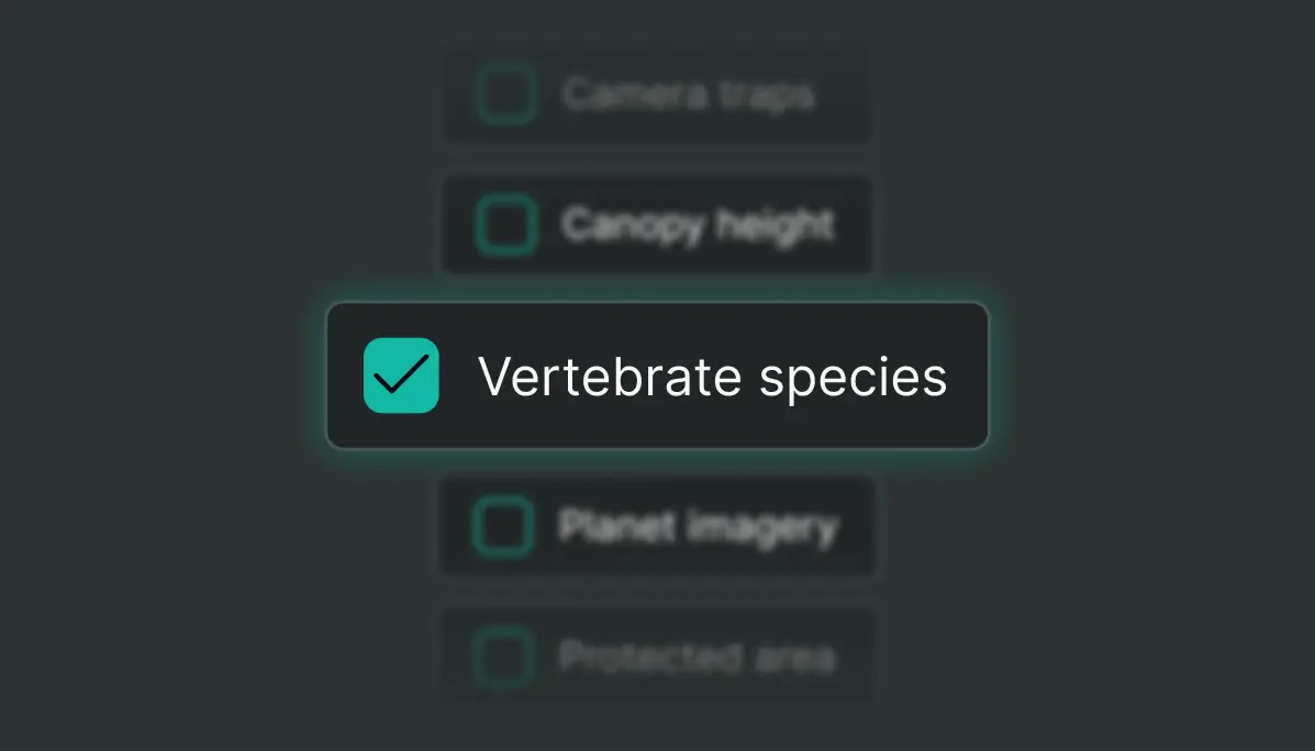
Map layers selection
Build your map by selecting layers from an auto-generated list based on your Area of Interest (AOI)
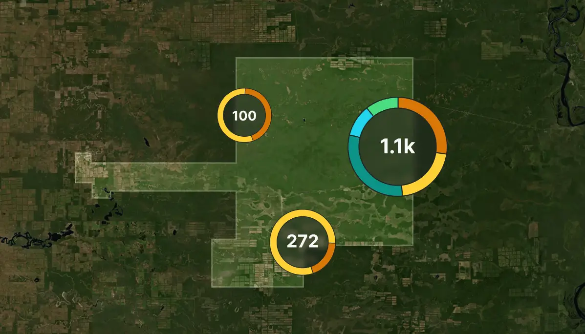
Map access
Instantly access your customized interactive map and audit-grade data analytics
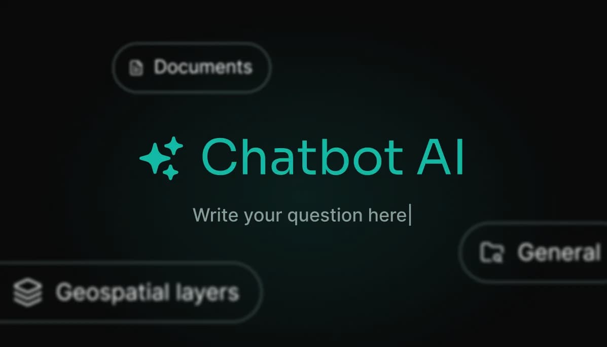
AI Chatbot
Interpret your data-rich maps with the help of our purpose-built AI Chatbot trained on geospatial data
Reporting
Easily extract raw data and generate reports from pre-defined templates (e.g. feasibility, risk assessment, EUDR) or generate advanced custom templates
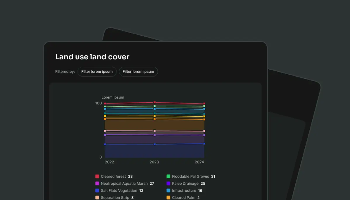
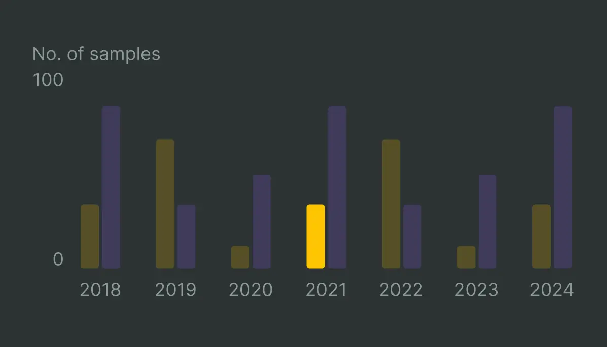
Interactive dashboards
Optional : Access interactive dashboards to track key metrics and enhance communication. Upload technical documents (e.g. PDFs, PowerPoints, Excel) to supplement your geo-data and customize auto-generated dashboards.
